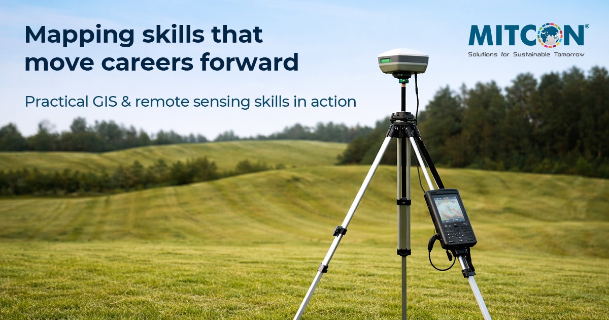
How GIS & Remote Sensing Skills Can Boost Your Career in Geospatial Analytics
In today’s digital economy, organizations don’t just need people who can analyze data, they need professionals who understand how real world systems behave across location, time, and terrain. That is why GIS (Geographic Information Systems) and remote sensing are now among the most valuable skills for anyone pursuing a career in geospatial analytics. When you master them, you move beyond basic reporting and step into a higher impact role: a spatial strategist who turns geographic patterns into insights that support planning, investment, risk management, and operational decision making. This is not just a skill upgrade, it is a career multiplier.
GIS and remote sensing accelerate careers because they answer business critical questions traditional analytics often misses. Standard analysis explains what is happening in performance metrics, customer behavior, or operations, but GIS explains where it happens and why it concentrates in certain locations. Location is not a detail, it is an advantage. With location intelligence, organizations make stronger decisions in site selection, service accessibility, market expansion, risk exposure, supply chain efficiency, infrastructure demand, and climate resilience planning. That is why employers increasingly treat geospatial intelligence as a core business capability, not a niche skill.
A major advantage of GIS is spatial data integration, which means combining datasets that seem unrelated until they connect through geography. This includes layering satellite imagery, elevation models, demographic data, road networks, land use, climate variables, and economic indicators to reveal patterns invisible in spreadsheets. Integration creates one actionable view that helps identify hotspots, prioritize investment, and monitor change over time using measurable, map driven evidence. More layers create more clarity. Example: combining population growth, road access, and land availability supports smarter expansion planning and better public service delivery.
Remote sensing adds high impact capability by monitoring change across large areas without manual inspection. Satellite and aerial imagery act as continuous sensors, tracking crop conditions, land development, flooding risk, deforestation, water availability, temperature shifts, and infrastructure growth at scale. With image processing, analysts generate NDVI vegetation indices, land cover classification maps, land surface temperature insights, and change detection models. These outputs support early warning, forecasting, and faster response, preventing risks from becoming expensive long term problems. Remote sensing makes change visible early. Example: NDVI time series detects crop stress quickly and guides irrigation decisions before yield loss becomes critical.
Modern geospatial analytics is increasingly automation driven, so combining GIS with Python and SQL expands career opportunities. Employers want professionals who automate workflows, handle large spatial datasets efficiently, and deliver consistent outputs at scale. Tools like ArcPy, GeoPandas, Rasterio, and PostGIS move analysts from manual processing to reproducible pipelines for repeatable monitoring and decision support. Automation saves time, improves accuracy, and increases trust in results, enabling faster decisions.
Another key advantage is communication. Even great analysis loses value if decision makers cannot understand it quickly. GIS professionals translate complexity into visual intelligence through maps, dashboards, and spatial reports. Using ArcGIS Pro or QGIS, analysts build interactive views, time enabled monitoring maps, and stakeholder friendly visuals that leaders can act on immediately. Clear maps drive faster alignment. Example: a flood exposure dashboard highlighting vulnerable neighborhoods strengthens preparedness and investment planning.
The real world applications of GIS and remote sensing go far beyond mapping. In precision agriculture, they improve crop monitoring, reduce waste, and increase productivity. In insurance and risk modeling, analysts build flood and wildfire risk surfaces by integrating terrain, land cover, and climate history to support pricing and disaster readiness. In urban planning, GIS supports zoning analysis, infrastructure expansion monitoring, and population driven development tracking. In public health, disease clusters can be mapped alongside environmental factors such as air quality and water access to improve early intervention. In logistics and supply chain operations, GIS improves routing efficiency, warehouse coverage, and delivery performance to reduce costs and improve reliability. Example: network analysis reduces delivery time by selecting optimal routes based on traffic and service zones. Example: wildfire risk maps built from slope, vegetation, and weather history improve emergency planning and insurance modeling.
To accelerate your career, building a strong portfolio is one of the most effective strategies. Employers want proof you can solve real problems, not just list tools on a resume. A strong portfolio includes five to eight projects such as flood susceptibility mapping using elevation models, urban heat island analysis using land surface temperature, NDVI crop monitoring dashboards, land use classification, accessibility mapping for public services, and site suitability analysis for expansion planning. Strong portfolios get interviews faster. Publishing work on GitHub and presenting it on a clean portfolio website boosts credibility, visibility, and employer confidence.
Certifications can further strengthen your profile, especially for roles in established organizations. Credentials such as GIS Professional (GISP) and Esri Technical Certifications validate expertise and signal readiness. Learning platforms like Google Earth Engine is also a major advantage, since cloud based tools are increasingly used for large scale time series monitoring and remote sensing analysis. These skills show employers you can work beyond desktop GIS and contribute to scalable, enterprise ready solutions. The future of geospatial development is cloud ready.
One of the biggest strengths of GIS and remote sensing is that they are industry agnostic. While geospatial work was once centered in government and environmental agencies, private sector demand is rising fast. Technology, finance, retail, logistics, banking, and climate focused organizations now hire professionals who support spatial risk modeling, operational planning, market intelligence, sustainability tracking, and location based decision making. More industries need location intelligence every year.
Ultimately, learning GIS and remote sensing is about becoming decision critical, not just data capable. These tools strengthen analytical thinking, helping you detect patterns early, measure spatial risk, optimize systems across geography, and communicate insights through maps stakeholders understand quickly. This is why GIS and remote sensing can transform your career in geospatial analytics. Start simple and grow fast. Master one GIS platform, learn core remote sensing workflows, build two strong portfolio projects, and add Python automation to stand out. For faster results, choose one industry and build a complete end to end project that solves a real problem.